PROGRAM
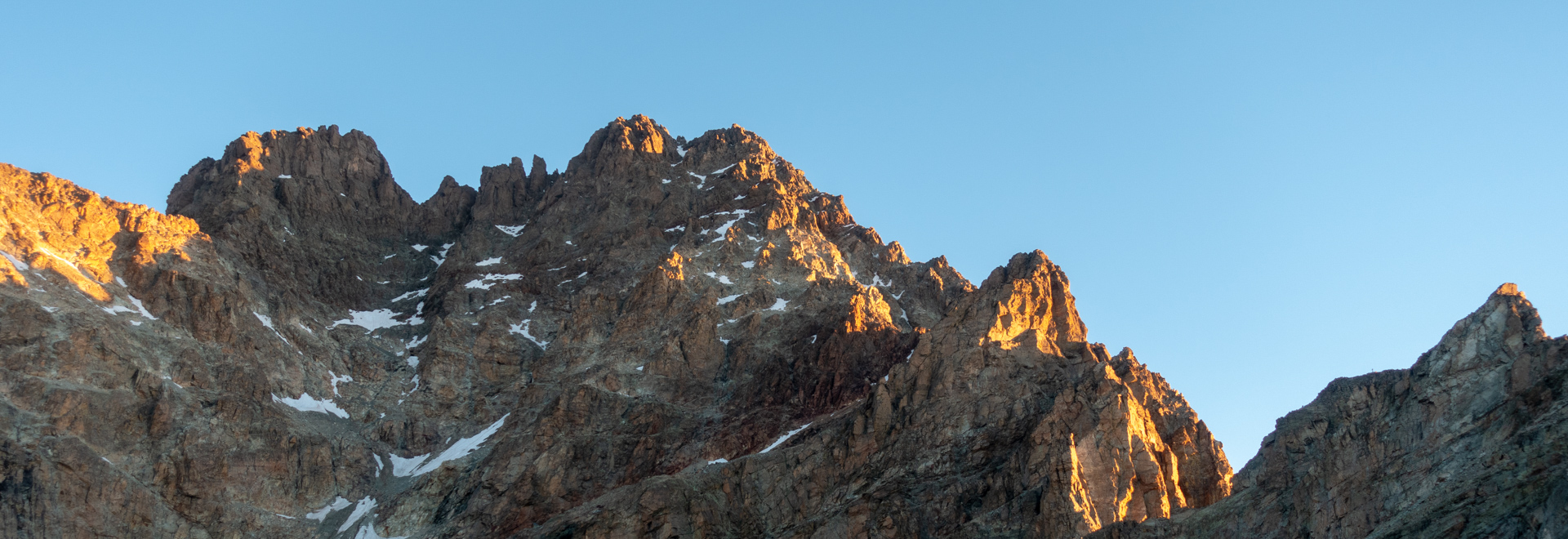
The normal route runs along the South Face, following the itinerary of its first climbers in 1861. Today, the climb to the summit, includes the ascent from Pian del Re, with overnight at the Sella hut. Despite being the most frequented and easiest route to reach the summit of Monviso, it still is a non-trivial mountaineering route, both because of the length of the itinerary and the exposure of some passages. The equipped route and the itinerary after the Andreotti refuge are carried out in short rope.
In general, the ascent is recommended starting from late June until mid-September, depending on the weather and snow conditions.
A high level of climbing is not necessary, but good confidence with the vertical environment and a consolidated ability to move with rigid boots on rocky terrain, with steep and exposed sections is required.
GROUP DEPARTURES
Elevation gain: 950 m
Ascent time: 2h30
Meeting point: Pian del Re parking area
Meeting with the Guide, briefing and gear check before the departure. From the parking lot, we will move towards the source of the Po, on a beautiful path between meadows, lakes and moraines, in the direction of Lake Fiorenza (2,120 m). Passing under the imposing north face of Monviso, continue with steep hairpin bends, up to Colle di Viso (2,650 m) and from there we will reach Sella hut (2,640 m).
Accommodation in the rooms and briefing with the Guide the next day’s ascent planning.
Dinner and overnight in the hut.
Elevation gain: 1,400 m
Elevation loss: 2,300m
Ascent/descent time: 10/12 h
Wake-up and breakfast in the hut.
Departure before dawn from the refuge. Climb up to the Sagnette pass (2,991 m) on a steep path. Continue on stony ground to the Andreotti refuge (3,225 m), where the mountaineering part of the climb begins. Sections of walking alternate with short and easy rocky ascents to climb to the summit.
Arrival at the summit (3,841 m), with a short break, enjoying a breathtaking view.
The descent takes place along the same route of the climb, with possible stop at the Pian del Re hut for a short refreshment break, celebrating the summit just conquered.
DETAILS
RATES
- the assistance of a UIAGM/IFMGA certified Mountain Guide
- the Mountain Guide’s expenses (transfers, meals and accommodation)
- liability insurance
- safety gear used by the Guide (eg rope)
- overnight stay in a refuge with half board
The rate does not include
- research and rescue insurance with UVGAM coverage (recommended): €7 for 3 days
- personal equipment (harness, mountaineering helmet and crampons if needed): 20€/day per person
- anything that is not mentioned under "The rate includes"


